

Enhancing Railway Safety with Geospatial Solutions
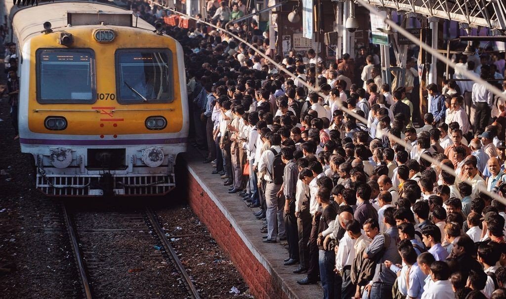
Tragically, deaths on railway tracks remain a persistent and concerning issue, posing significant risks to both individuals and public safety. Mumbai Railway Authorities are very actively working on solving the fatality rates on Mumbai railway tracks. This effort of theirs will be bolstered if they leverage specialized Geospatial solutions for effective reduction of loss of life on Mumbai’s railway tracks. This staggering number has raised alarm bells and calls for a comprehensive understanding of the underlying factors contributing to this tragic phenomenon.
Problem Statement
Railway deaths on tracks encompass incidents where individuals come into contact with trains or railway infrastructure, resulting in fatal outcomes. These incidents may involve pedestrians, trespassers, or unauthorized individuals who inadvertently or deliberately access railway tracks without proper authorization and people getting hit by railway infrastructure while hanging on the trains. The problem is not limited to a specific geographic location and can occur in both urban and rural areas.
Current Efforts by the Mumbai Railway Authorities
Mumbai Railway Authorities have been actively working on solving the fatality rates on Mumbai railway tracks. Authorities have initiated various measures to improve railway safety. These include the construction of additional foot overbridges and underpasses, enhancing surveillance through CCTV cameras, and increased patrolling to discourage unauthorized crossings. Public awareness campaigns have been launched to educate commuters about safe travel practices and the consequences of trespassing.
Leveraging Indian Geospatial expertise to assist the Railway Authorities
Genesys International, a leader in advanced Geospatial solutions, has undertaken a groundbreaking initiative that could help reduce the number of fatalities on railway tracks. Genesys has developed a LiDAR-based GIS solution to address the fundamental issues of infringement analysis. LiDAR is Light Detection and Ranging. It's a remote sensing method that leverages light (pulsed laser waves) to measure variable distances.
LiDAR-based GIS solution for Infringement Analysis
The first step is to create an accurate 3D model of a railway corridor to aid manual surveying, bringing human error. This 3D model can identify areas of potential infringement, such as overgrown vegetation, protruding objects near railway tracks, and places where people are likely to walk or cross the tracks and identify things illegally present on railway property.
3D Infringement Analysis provides a more accurate representation of the railway corridor than traditional methods. It also improves efficiency by rapidly and efficiently mapping large railway areas, saving time and ensuring comprehensive monitoring.

Genesys has solved similar problems for Konkan Railways using 3D infringement Analysis. An enterprise web solution with 3D data, LiDAR Point Cloud Imagery, HD 360 Degree Panoramic Imagery, and a High-Resolution Base map all in a single window was developed.
Similarly, Genesys worked with Western Railways, Mumbai, to create colorized Point Cloud showing locations of infringements on and near the tracks.

While the concerned authorities are trying their best, support from organizations with specialized technology capabilities is necessary to ensure efficient and timely solutions are implemented.